📍 Kenitra
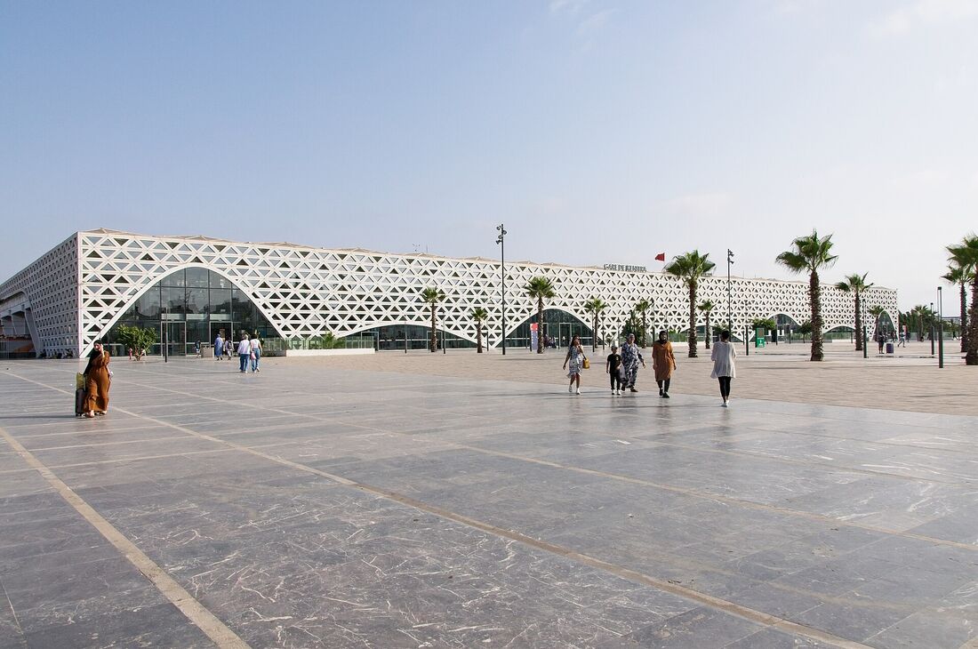
Kenitra stationKenitra, on the banks of the Sebou river about forty kilometres from Rabat, is a major agricultural, industrial and university city of the Gharb. Called Port-Lyautey until independence, it regained its present name in 1956.
The city hosts Ibn Tofail University, a large industrial zone and a river port on the Sebou. Its new station, served by the Al Boraq high-speed line, makes it a handy stop between Tangier, Rabat and Casablanca; a few kilometres away, Mehdia beach and Lake Sidi Boughaba offer popular outings.
With a growing population, Kenitra keeps extending its districts. Below you will find its pharmacies on the map, sorted by distance if you share your location, with phone number when known and one-click directions.
🗺️ On the map (241)
Click a cross to see details.
📋 Pharmacy list (241)
🧭 Directions
🧭 Directions
🧭 Directions
🧭 Directions
- Kenitra
🧭 Directions
🧭 Directions
🧭 Directions
- 14000
🧭 Directions
- Rue Tanger زنقة طنجة, 14000
🧭 Directions
- 14000
🧭 Directions
🧭 Directions
- 14000
🧭 Directions
- Avenue du 2 Mars, 14000
🧭 Directions
🧭 Directions
- 88 bir rami sud
🧭 Directions
🧭 Directions
- 14000
🧭 Directions
- Rue 175 زنقة, 14000
🧭 Directions
- 14000
🧭 Directions
- Avenue Aqid Allam, 14000
🧭 Directions
- Avenue Abi Chita El Jamaai, 14000
🧭 Directions
🧭 Directions
🧭 Directions
- 14000
🧭 Directions
- Avenue John Kennedy, 14000
🧭 Directions
- 1791 bd Massira El Khadra lotiss. AlWafa I Saknia Kenitra+212 5 37 38 02 67
🧭 Directions
- Route de Haouzia, 14000
🧭 Directions
🧭 Directions
- Route de Rabat طريق الرباط, 14000
🧭 Directions
- 14000
🧭 Directions
Frequently asked questions about pharmacies in Kenitra
How many pharmacies are there in Kenitra?
Infozone lists 241 pharmacies in Kenitra, 57 of them with a phone number. The data comes from OpenStreetMap and may be incomplete.
How do I find the pharmacy nearest to me in Kenitra?
Allow location access on the page: the pharmacies of Kenitra are sorted from nearest to farthest, with distance, map and directions. Your position stays on your device.
Which pharmacy is on duty in Kenitra?
The on-duty (garde) schedule for Kenitra, day and night, is published on the “On-duty pharmacies in Kenitra” page: by neighbourhood, with address, phone and directions. See on-duty pharmacies in Kenitra →
How do I get to a pharmacy in Kenitra by car or on foot?
Each pharmacy page offers directions by car (Google Maps, Waze, Apple Maps, OpenStreetMap) and on foot (Google Maps, Apple Maps, OpenStreetMap).
Pharmacies by neighbourhood in Kenitra
Useful services in Kenitra
Pharmacies in cities near Kenitra
Data updated on . List from OpenStreetMap: it may be incomplete. On-duty pharmacies are not shown. Data © OpenStreetMap contributors (ODbL)